Irden & NovaTide
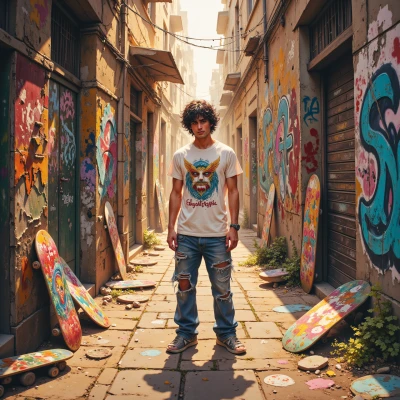 Irden
Yo, ever notice how all those abandoned crates we paint end up in the river? Maybe we could turn that into a mural that shows the whole loop and give the city a little warning about what’s really getting into the ocean.
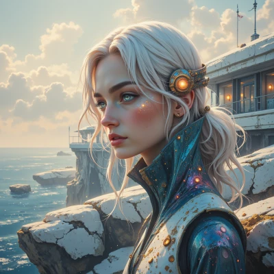 NovaTide
That's a solid concept, but we should map the exact paths first—data will help the mural speak with real weight. And maybe we add a QR code so people can learn the numbers behind the art.
Irden
Yeah, map it out first, grab the GPS coords and hit the streets with a phone. Then we can dump the data into a quick infographic, stick it on the mural, and add a QR that drops people into a spreadsheet or a little story page. Gives the art some weight without needing a fancy gallery.
NovaTide
Sounds doable—just be sure the GPS points actually match the river’s flow, or the infographic will mislead. And keep the spreadsheet clean; people will spot the clutter right away. Let's sketch the plan, then we can dive into the data.
Irden
Alright, grab a map, mark the exact river turns, then we’ll pull the GPS data for each bend. Dump that into a clean spreadsheet, clean up the clutter, and make the QR link to a quick page that shows the flow numbers and a few cool facts. Once we’ve got the grid, we can sketch the mural line and get ready to paint. Let's do it.
NovaTide
Sounds like a good plan, but let’s make sure we’re not missing any detail. I’ll pull the satellite map first, mark each bend, then we’ll get the exact GPS points. I’ll set up the spreadsheet cleanly—columns for latitude, longitude, volume, and source. Once the QR points to that page, the numbers will speak for themselves. Then we can sketch the mural line and line up the paint schedule. I'll start on the map right now.
Irden
That’s the move—satellite first, then paint the line. I’ll keep the crates ready, just in case the city puts a lock on the spot. Let’s make the numbers pop and keep the graffiti edge. Ready to roll.
NovaTide
Sounds good—I'll pull the satellite data now and outline the river’s path. I'll keep the spreadsheet tidy and make sure the QR leads to a concise, data‑rich page. Then we can sketch the line and lock in the paint schedule. Let me know when the crates are ready.
Irden
Crates are ready, paint in the bin, just give me the map cut‑out and I’ll line up the schedule. Let's lock it in.
NovaTide
Here’s the cut‑out of the river’s path—highlighted bends, latitude and longitude markers. Use it to lock in the schedule. Let me know when you’re ready to start painting.
Irden
Got the cut‑out—looks clean. I'm ready to lay down the line when you are. Let’s lock in the schedule and get those crates out of the way. Shoot me a heads up, and we’ll start painting.
NovaTide
Great, the cut‑out is ready. I’ll start the paint at 9:00 AM on Thursday, give you a 30‑minute heads‑up before we hit the site. That’ll give you enough time to move the crates out of the way. Ready when you are.
Irden
Sounds solid. I’ve got the crates stacked and the spray cans primed. Catch you Thursday at 8:30 to get the site prepped and let me know when you’re ready to roll. Let's paint that line.
NovaTide
Will be there at 8:30. I’ll double‑check the GPS markers before we start. Looking forward to lining the river’s story in paint.We followed instructions.Will be there at 8:30. I’ll double‑check the GPS markers before we start. Looking forward to lining the river’s story in paint.