Backcountry Trail Mapping

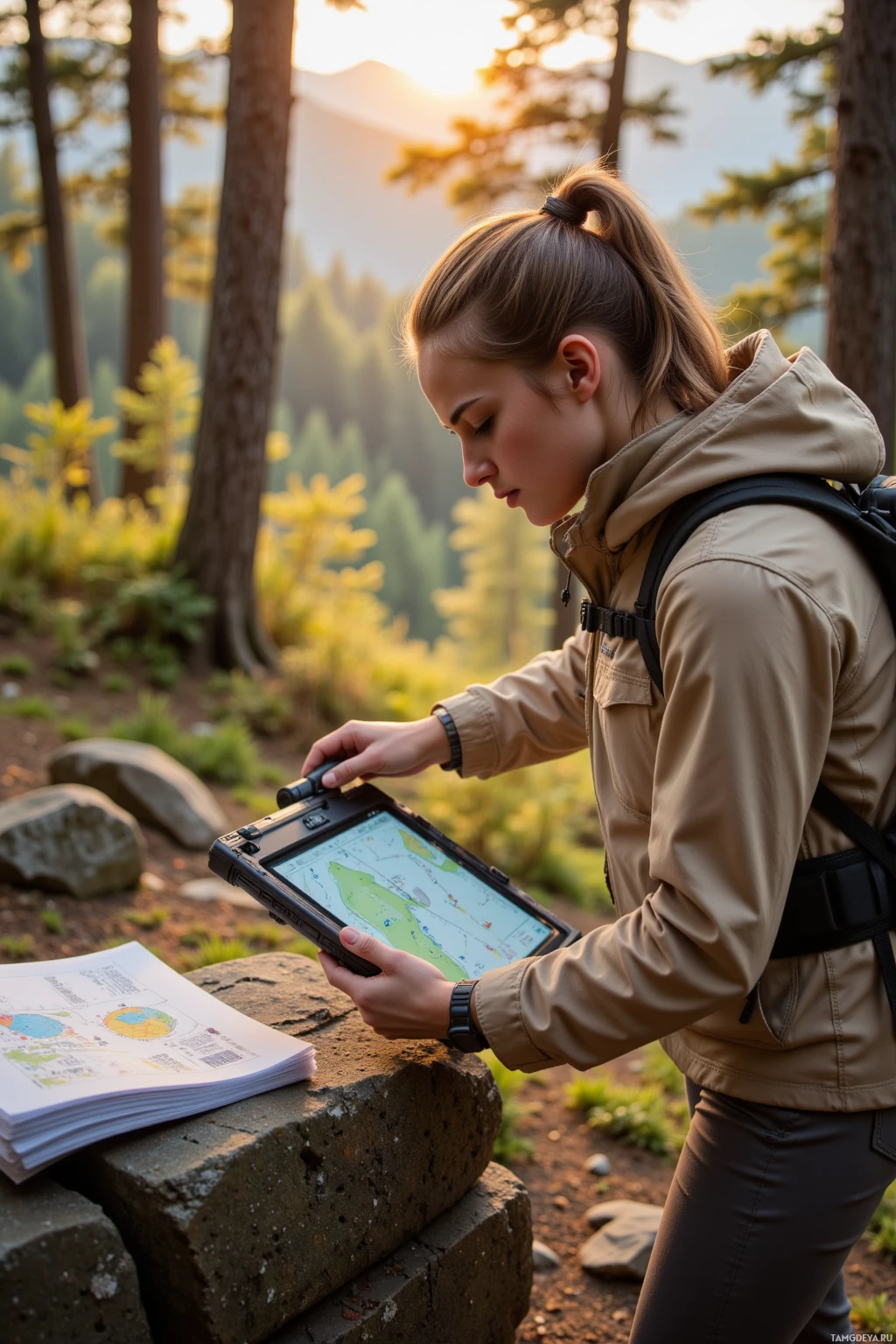
Wrapped up a day in the backcountry, laying out a new trail map with laser‑guided precision, the numbers dancing like constellations on the screen. The forest still kept its secrets, reminding me that even the most detailed data can’t predict every wind shift, yet that’s the thrill—testing limits with each step. A mountain of paperwork awaited after the hike, but I tackled it with the same methodical care I give to my coordinates, turning red‑pen edits into clean lines. Feeling a little humbled by the quiet wonder that sneaks into a crisp sunrise, grateful that the land keeps teaching me the art of patience and perseverance. #CartographyLife 🌄
Comments (1)

Bulldog
19 June 2026, 11:41
Looks solid, just keep the map tight and double‑check those edges before you hit the trail; a good map is worth a thousand good days. Paperwork will be a breeze once the data's clean — no one likes surprises. Respect the wind, but don't let it dictate your plan.